
Last winter I found ThatMotoApp.com where you can join a like minded
community of dual sport riders. It puts the BDR web site to shame.
There are all sorts of cool features. The GPX Exchange allows you to
download routes. And so did many months ago. I put the tracks on my
Garmin and the ThatMotoApp app. The app has a different purpose than
the web page, it allow you to contribute by adding route status and
photos where the web site distributes information.
My reason for joining this community is to find new places to ride that
ARE NOT BDRs, as they are loved to death and tend to be more difficult
than I find enjoyable.
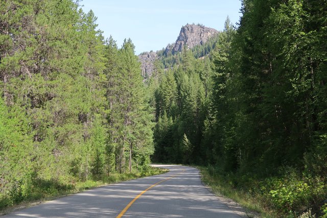
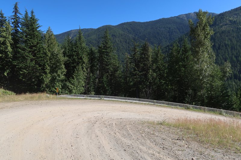
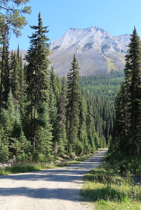
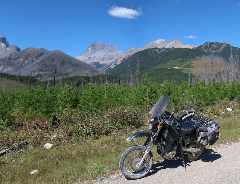
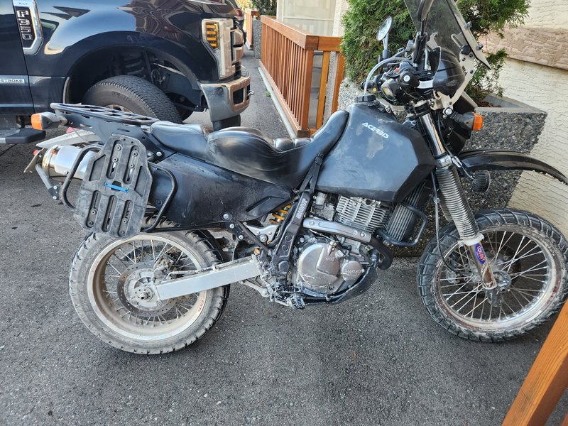
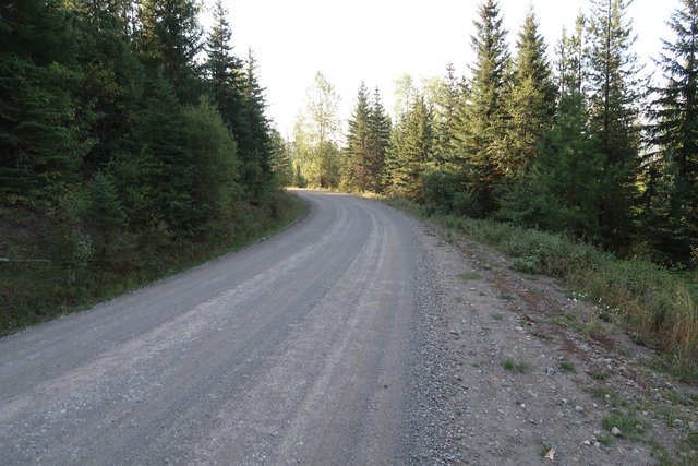
Today I road 250 miles about 70% pavement and a bit of the Kootenay
Canadian Dual Sport Ride. The route was designed for big bore adventure
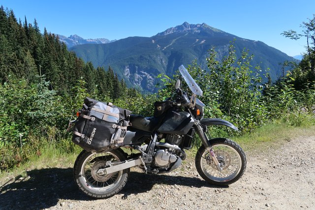
bikes. I brought my Suzuki DR650 with a 19" front hoop with 90/10
Shinko 705 tires. This choice is working well so far.
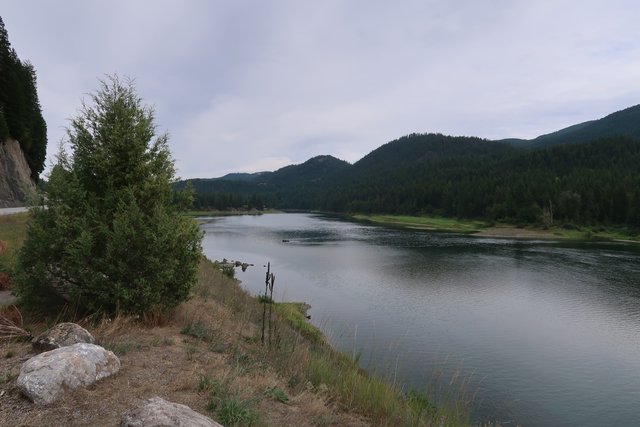
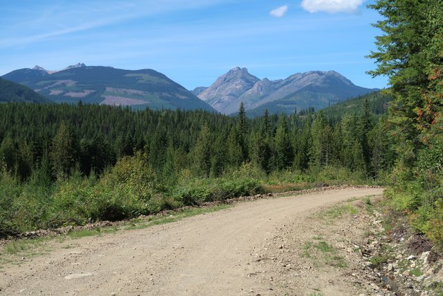
Images from today in random order.

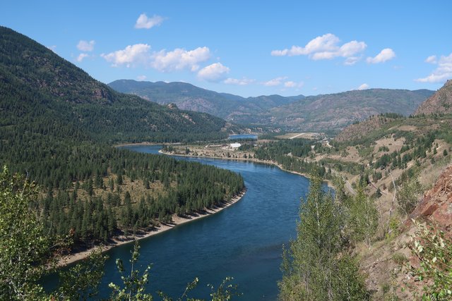
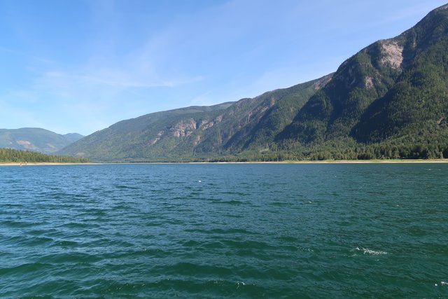
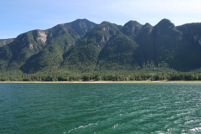
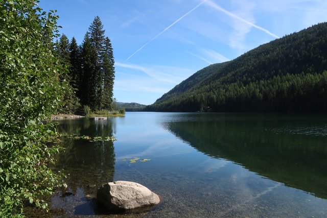
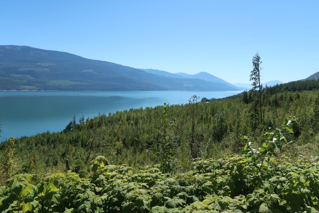
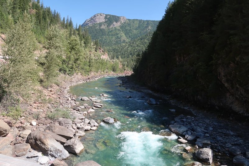
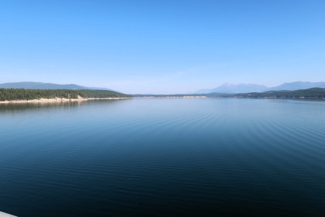
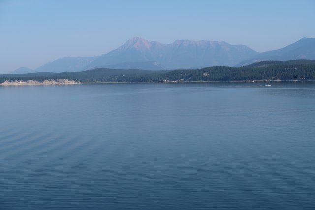
The Pend Oreille River flows north from Washington State to Canada then south back to Washington.
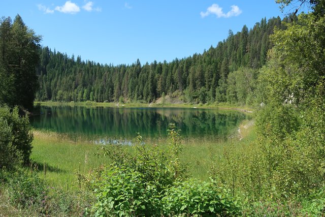
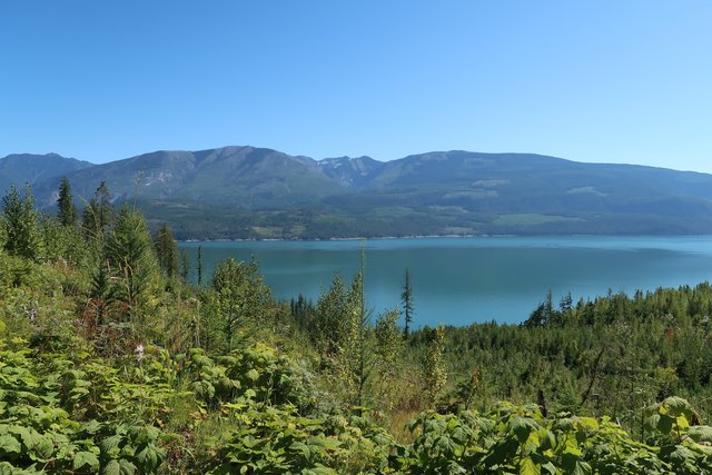
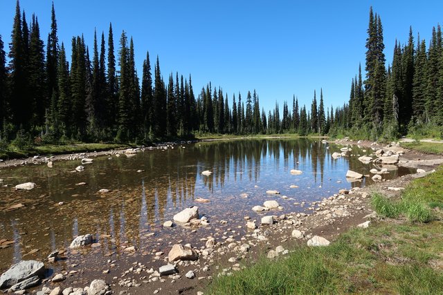
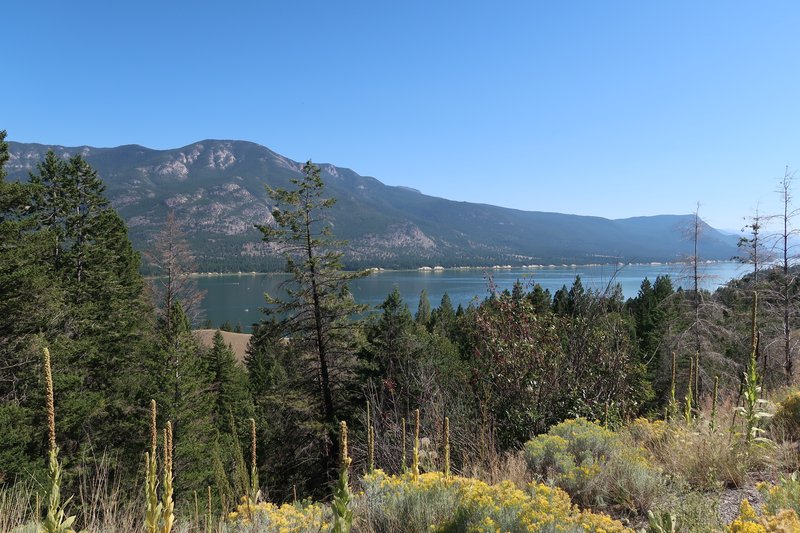
A lake just south of the border crossing.
Putting the tracks on the Garmin 590 did not work out so tomorrow I will
use my ancient cellphone with the ThatMotoApp for navigation. I will
be in Nakusp BC tomorrow night the site of many CFRs.
Great ride so far.
Day Two.
This ride was an unknown until today. Today was the first full day on
the route. Unknown was the road rating as advertised? Unknown was
could I ride the distance each day as defined in the guide book?
Unknown did I make the right choice using 90/10 tires?
Yes, yes and yes. This route is exceeding expectations. It isn't beat up and challenging like the Idaho BDR.
It was a fantastic day.
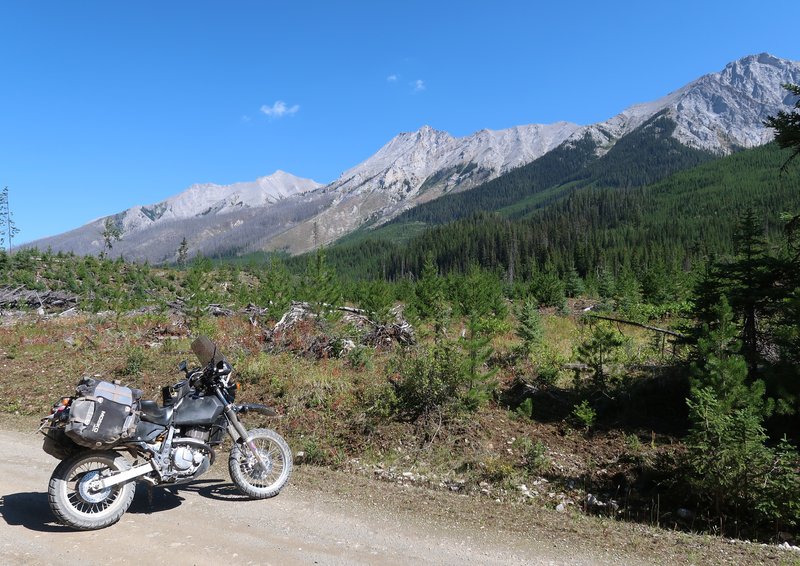
The DR650, the way I have it set up, is a champ. Can't say enough about
the confidence I have in this motorcycle. Rugged, simple and unusually
reliable. Sure it does not have a lot of horsepower but my typical
gravel road speed is 20-40 mph so the Mighty DR
650 meets my needs. I don't need 100 HP motorcycle with 500+ lbs to have a great adventure, just a well set up DR650 please.
Sterling Noren a world traveler, accomplished motorcyclist, and film
director/producer, who directed many of the BDR films along with films
from Helge Pederson and Jim Hyde who founded RawHyde Adventures, has
been riding a Honda Trail 125 using his camping van as a base camp.
Check out his YouTube channel Motorcycle Travel Channel.
A tougher section where a horsepower won't help. The camera lies. As
if staying in hotels is roughing it. I just go first gear slow and it
all good. Slow and easy wins the day riding solo, especially in the
backcountry.
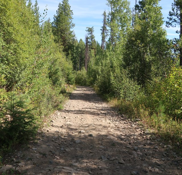
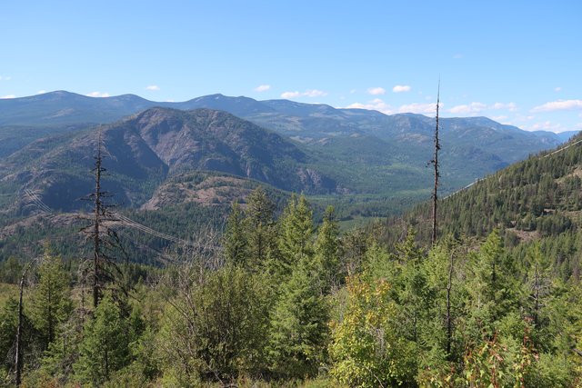
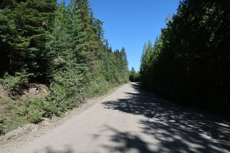
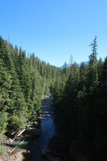
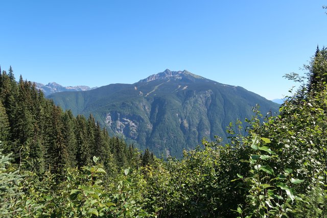
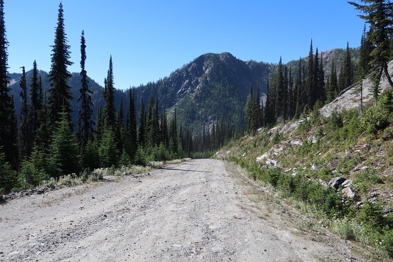
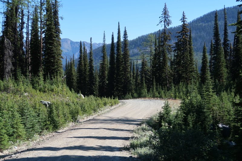
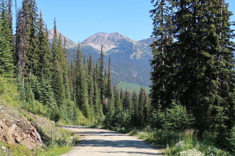
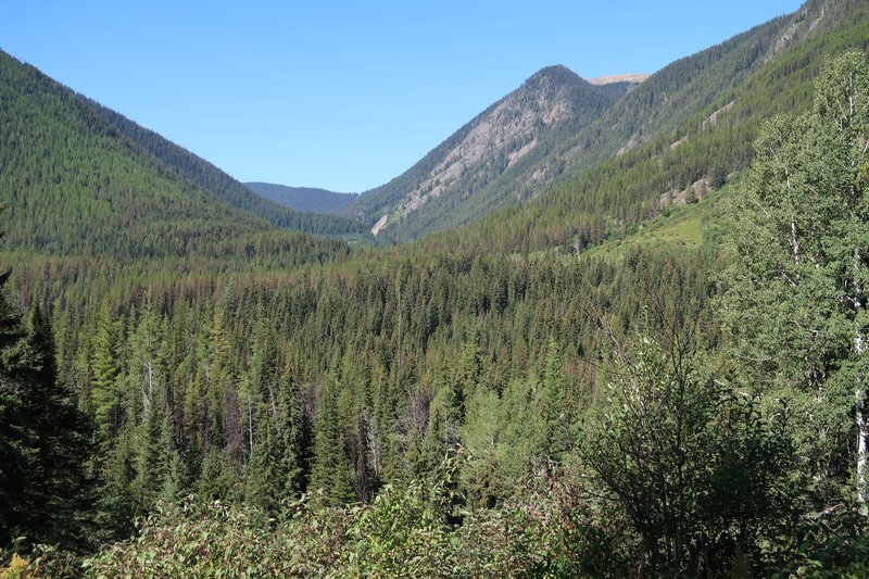
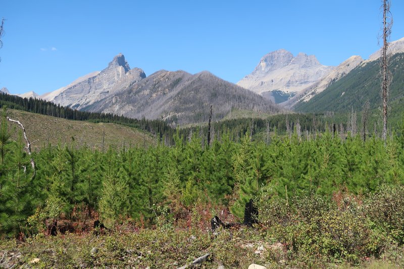
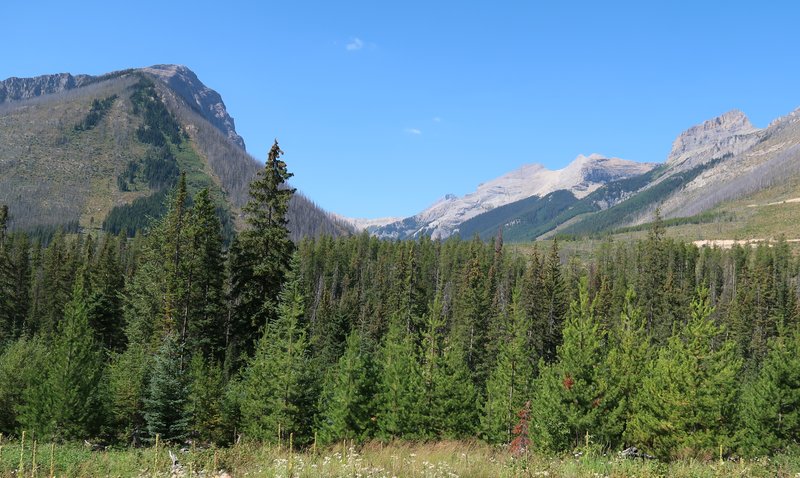
A few photos from today's ride.
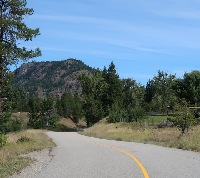
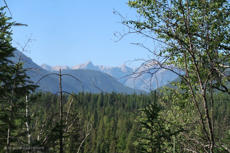
I was IN the mountains ALL day. It was grand.
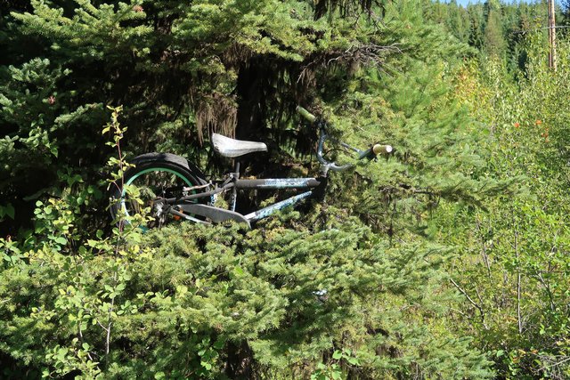
There was on place in the forest over a half miles section where bicycles were tied to trees. Very odd.
I am going to Revelstoke BC to someplace I have wanted to go for years!
Day Three
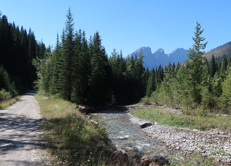
I went south to go north. Nakusp is next to Arrow Lake, formerly the Columbia River.
I went south of Nakusp, taking the Arrow Lake ferry then north on the Saddle Mountain road gravel road to Shelter Bay.
Unfortunately views of a Arrow Lake were minimal.
This is what it looked like. Lots of shade obscured the road surface.
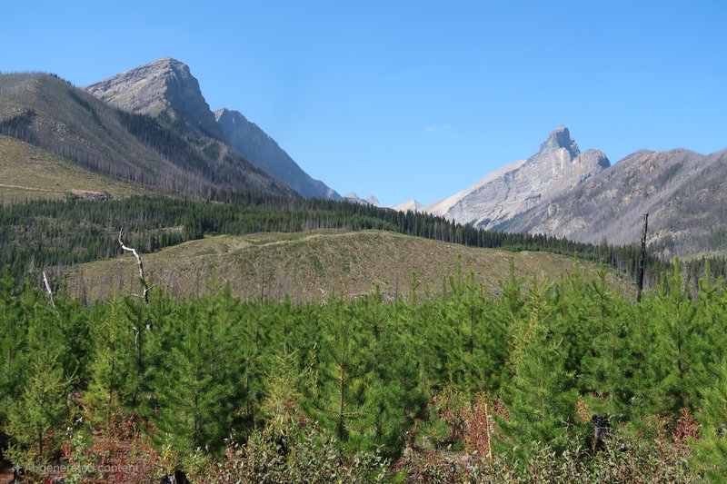
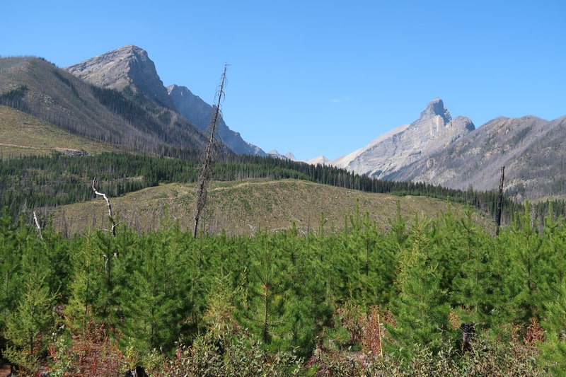
A few views.
Things got real interesting when I came across a large black bear and
stopped. He was 50-100 yards down the road and started walking towards
me. I have Piaa Slimline horns. They are very loud. A few blasts and
the bear headed away from me out of site. I proceded finally catching
up with the bear laying on the horns the whole time. It scrambled up
the embankment as I passed. It was a tense moment.
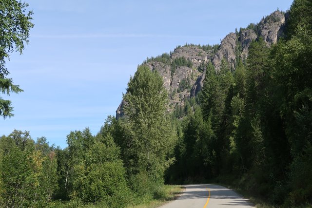
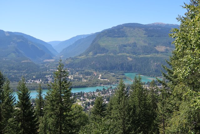
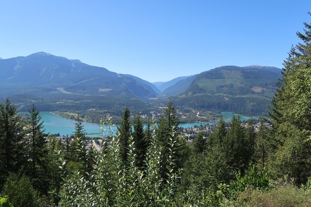
Returning to pavement at Shelter Bay I left the Kootenay Canadian Dual Sport route heading north to Revelstoke BC to ride Meadows in the Sky Parkway.
During CFR in June the road is usual closed so this was the first time
I have been here. Admission to the Park was free! Even to foreigners.
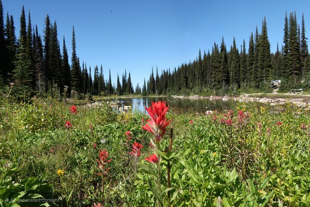
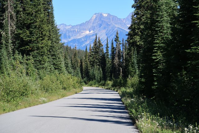
A few photos.
For Tyler. Mountain flower season is winding down quickly.
The DR.
Remove the DR.
Revelstoke and the Columbia River in the distance.
I will get back on the route tomorrow.
Day Four.
Second try at this post. One wrong swipe and it all went away.
Yesterday I noticed the Nelson Rigg fender bag had abandoned the front
fender. It contained a 19" inner tube and a shift lever as shift lever
are at risk on the DR. The plastic fender flexed quite a bit despite
the Pro Cycle stiffener. I will soldier on as with the ability to
patch a tube and unopened glue containers, plus a tube of slime. I
don't plan on replacing the fender bag Grrrrr...
I didn't sleep well last night and it impacted my day along with the 90° heat.
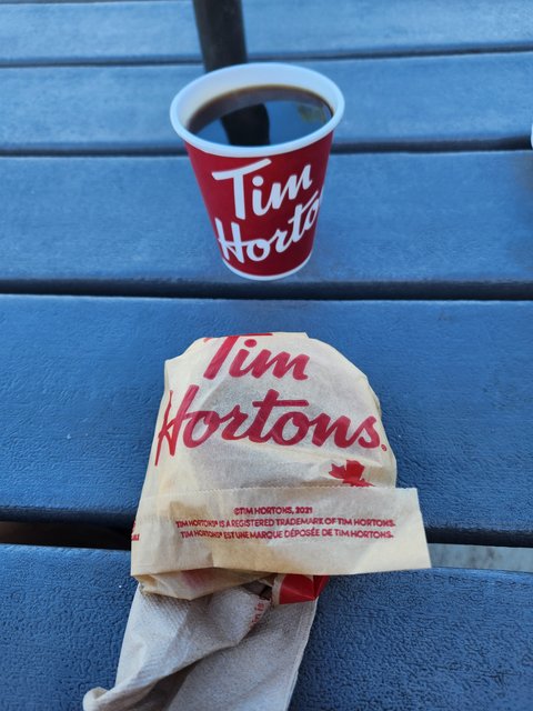
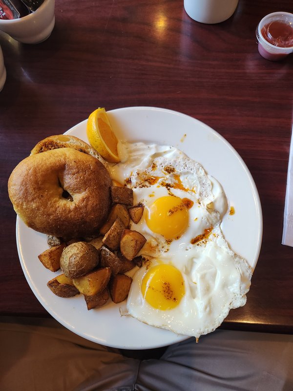
The day started with a Turkish inspired breakfast.
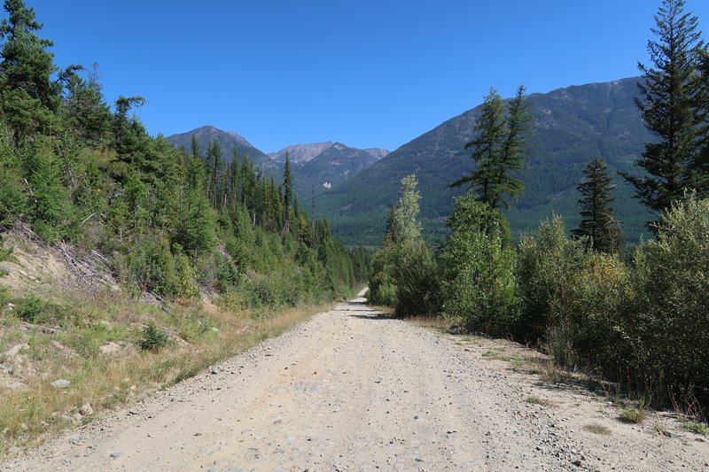
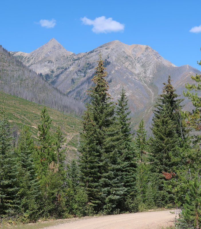
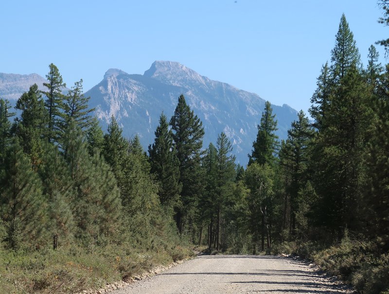
The route for today is Crawford Bay, Gray Pass, Kimberly and Radium BC.
I have never been here before. It was very scenic. 20 mph was the
pace as the Gray Pass road surface is rough as in very bumpy.
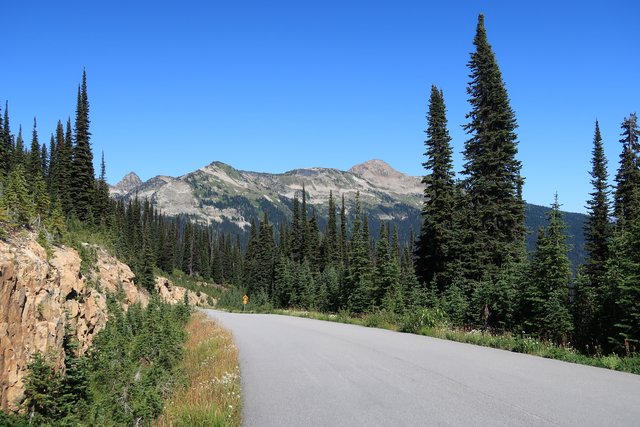
The Gray Pass road.
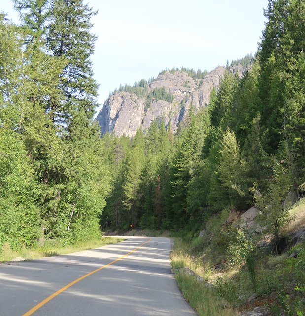
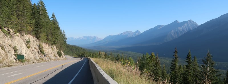
Mountain views were fantastic.
I took a pounding yesterday.
To avoid the heat and more rough bumpy road I switched up to pavement.
At Canal Flats the Kootenay River flows south and about one mile north
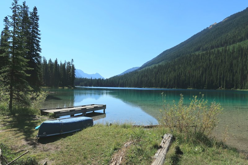
is Lake Columbia, considered the headwaters of the Columbia River.
Lake Columbia.
Columbia River.
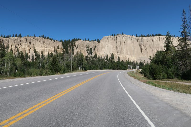
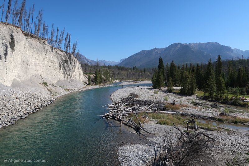
Interesting sand cliff.
I have a 125 miles of gravel today. Hopefully it is better than yesterday.
Day Five.
Day five was hands down the damn best day I have had on the Mighty DR650 in a while.
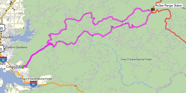
Here is the route.
I got an early start to beat the heat. This worked out in my favor as
there was a bicycle race along the route on Settler's Road about an hour
into the ride. A race coordinator was very helpful telling me about
road conditions. I'm sure I got through only because the race hadn't
started yet.
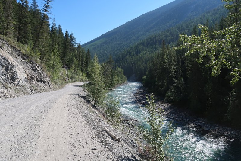
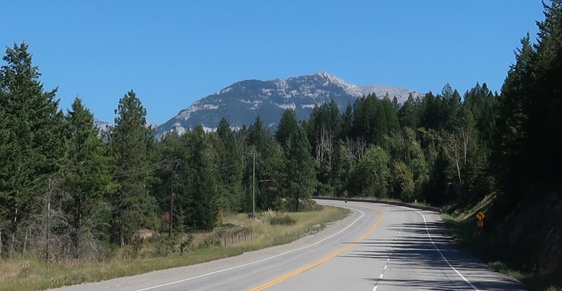
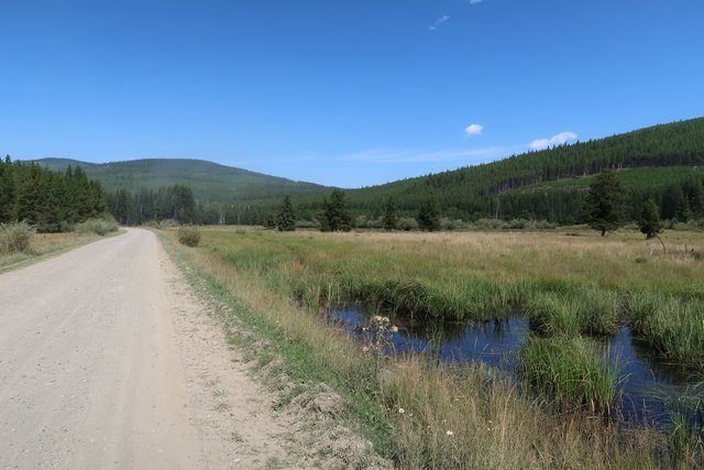
The road surface was good smooth gravel and I had occasional glimpses of the Kootenay River.
Along Hwy 93 early in the morning.
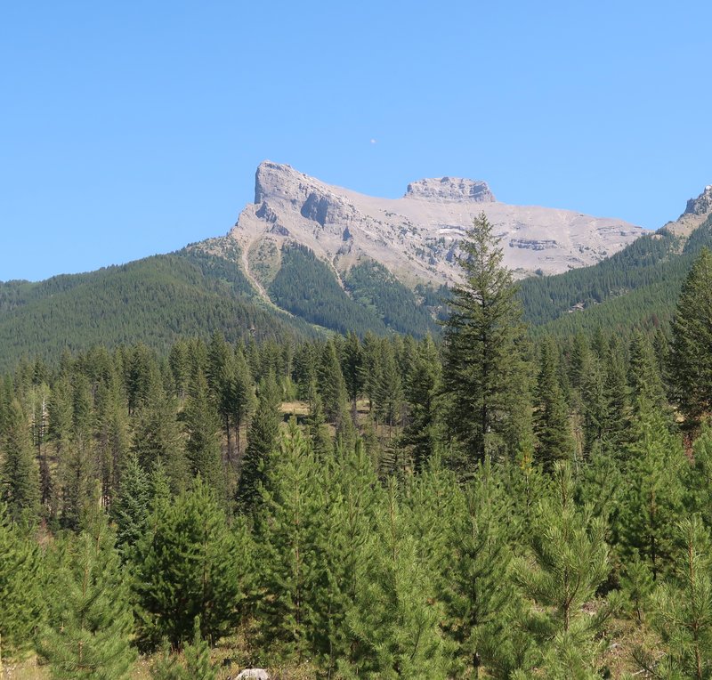
I was IN the Kootenay Mountains all day, but this day humbled me. I took 70 photos.
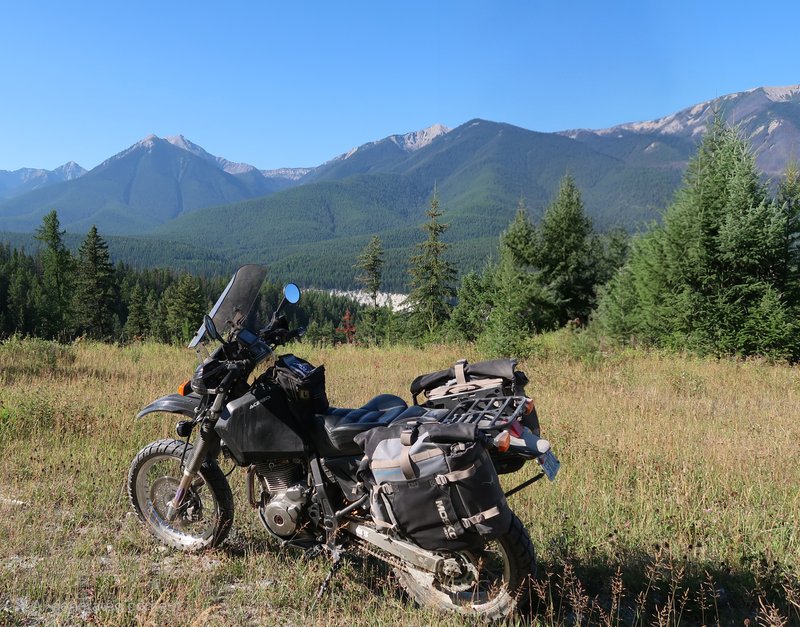
The Mighty DR650. I was amazed the Shinko 705's worked well everywhere
on this trip. I was in places I didn't want to be at times but the
tires where not a limiting factor. The fool piloting the DR is. This
setup was perfect on pavement and off. The only place these tires will
not work is mud and sand.
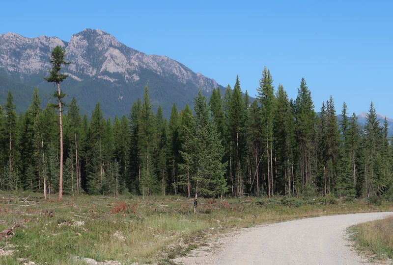
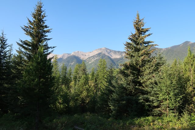
Just look at this scenery and these beautiful mountains. I was in heaven.
A lovely creek. I wonder how the fishing is.
I was dreaming about understanding the geology.
The Munroe Recreational site is maintained by users. I thought about using the boat but the paddle was a tree limb and a plastic plate.
Oh my. It is achingly gorgeous.
At one point I was off the motorcycle slack jawed at the beauty around me. I bowed and gave thanks for this opportunity.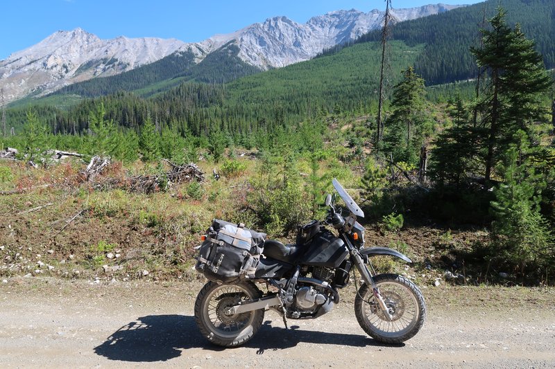
I was riding down a valley all day and on each side of me was mountain
peaks for 230 kilometers. And it was mostly on good gravel roads.
Amazing, beautiful, spectacular don't do justice to this day on the
DR650. The weather was perfect. From my house to the Canadian border
and the south terminus of this ride is a three hour ride. This is
literally in my backyard. How lucky am I? This is why I bought the
DR650 and set it up as I did. And to find this route this winter.
Perfect perfect perfect.
Just look at these next few photos.
I removed the tree using AI on my Samsung S22 Plus.
No tree limb.
Tree limb. It is kinda nice to have the ability to fix photos this way.

Look at the shape of the mountain peak.
I had to detour from the planned route. The sign says Road Closed Slide Ahead Ministry of Forest.
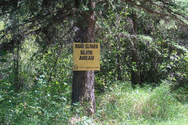
So there was only one way out, at least I hoped, so I used the Garmin to
set a point on the Bull River Forest Service road and then added my
hotel for the night. I was using Open Street Maps and it had more
detail than the Garmin City Navigator maps. The new route added 40
miles to my ride. It wasn't a bad route and I had no choice.
I followed the crystal clear Bull River for a long ways.
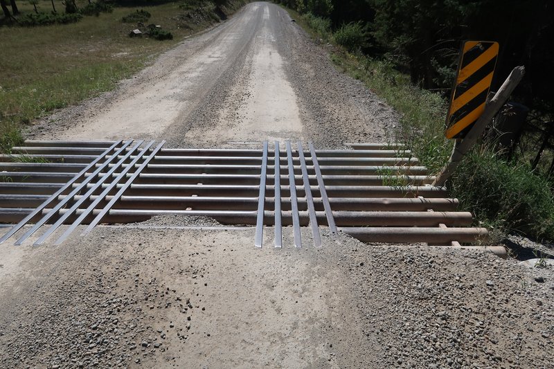
I am not a fan of metal grates and this one is even worse with
stiffeners running the same direction as my tires. They are raised
about 3/4 of an inch.
Great scenery on the detour.
Somewhere there was mud along the way.
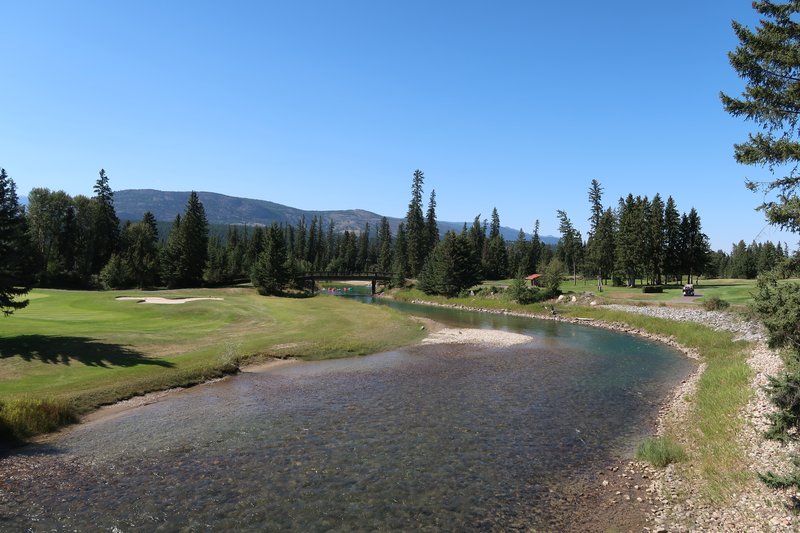
I landed for the night in Fernie BC. This town is surrounded by mountains and Fernie Alpine Resort is nearby where you can mountain bike, hike, golf and ski.
Fernie is a funky town.
This was a day I shall not soon forget.
End of day 5.
Day 6 and 7.
I spent the night in Fernie BC. A random shot of Fernie. Imagine having this view from about anywhere in town.
Day six was a two hundred kilometer day to Creston BC. Four miles out
of Fernie the gravel began can continued paralleling Hwy 3 it could not
This first bit was a hall of trees, in the morning shadows with
glimpses of scenery.
Here is a glimpse.
The road.
Here is the route in Google Maps.
I cross the Koocanusa Lake. The name of the lake made sense after reading this article.
Not long after this was a sign with large red letters saying active
logging. There wasn't too many trucks. I stopped for each truck as the
cloud of dust is so bad you can't see. I got tired of the taste of
dust, the GPS being dust covered and just dust in general. The surfaces
along this section was manicured by road graders which sat along the
road meaning plenty of marbles to ride on.
Crossing a pass I left the logging operations and was surprised to go
from a wide well groomed forest service road to some double track. This
is forest service road speak is a forest service road in disrepair no
logging truck can use. The road went up and it some places over grown
single track with water erosion ruts and suddenly was BDR challenging.
The way opened just before I crested a second pass. Not long after two
log loaders in an active logging area blocked my path. I got off the
bike and removed my jacket as it was hot out. I got the attention of
the loader operators and we struck up a conversation about motorcycles!
One fellow was going to Settler's Road where I was at the day before.
They kindly moved the machines to let me pass. Of course this meant I
was back on road grader manicured marbles for a good bit of the way. I
wasn't complaining too much as I was thrilled to get up the beat up
double track.
I was following a logging truck at a bit of distance for a while. Next
thing I know the driver is checking is load. YES! How lucky am i?
The gravel ends in Yahk BC. The name "Yahk" in British Columbia comes
from the Ktunaxa word "yaak," which means "bow." This name was inspired
by the nearby Kootenay River, which has a bow-shaped journey.
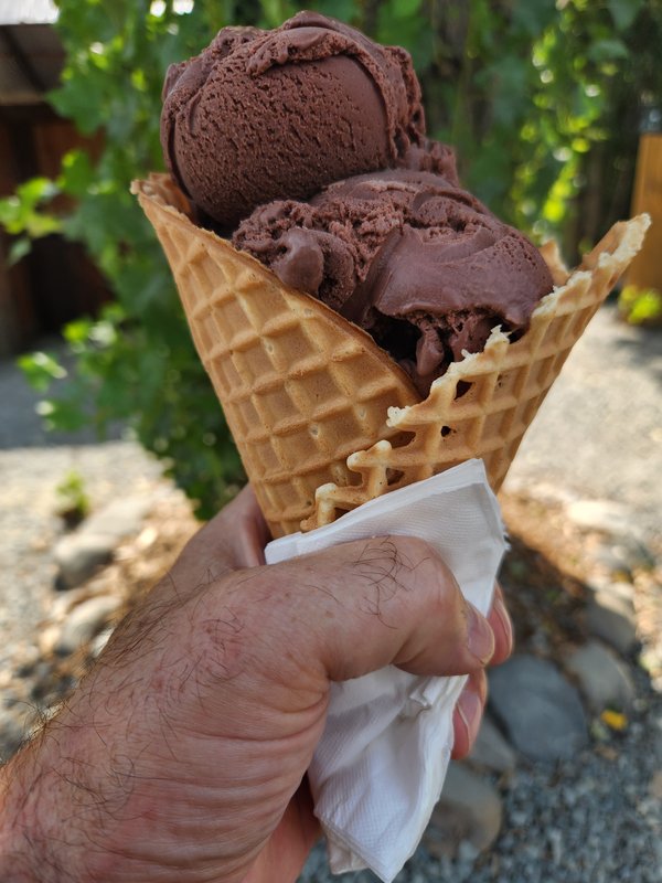
I stop at Two Scoop Steve, in Yahk BC, celebrating completion of the Kootenay Canadian Dual Sport route.
Day 7.
I road a direct route home.
What a great trip. It certainly met my objectives of finding some dual
sport routes not beat to heck like the Idaho BDR and it is close to
home.
The bike is a mess. The air filter needs cleaning, chain servicing and the bike needs washing plus check for loose bolts.
I'd like to ride the Okanogan Canadian Dual Sport route this year. Lot
of demands on my time. How does that happen in retirement?


No comments:
Post a Comment